Topographic & Terrain Mapping
We offer detailed topographic and terrain mapping services that capture natural and man-made features of a site. These maps support engineering design, environmental assessments, and land development projects with precise elevation and contour data.
ALTA/NSPS Land Title Surveys
Our ALTA/NSPS Land Title Surveys comply with the American Land Title Association and National Society of Professional Surveyors standards. These comprehensive surveys assist in real estate transactions by providing clear, certified descriptions of property boundaries, easements, and improvements.
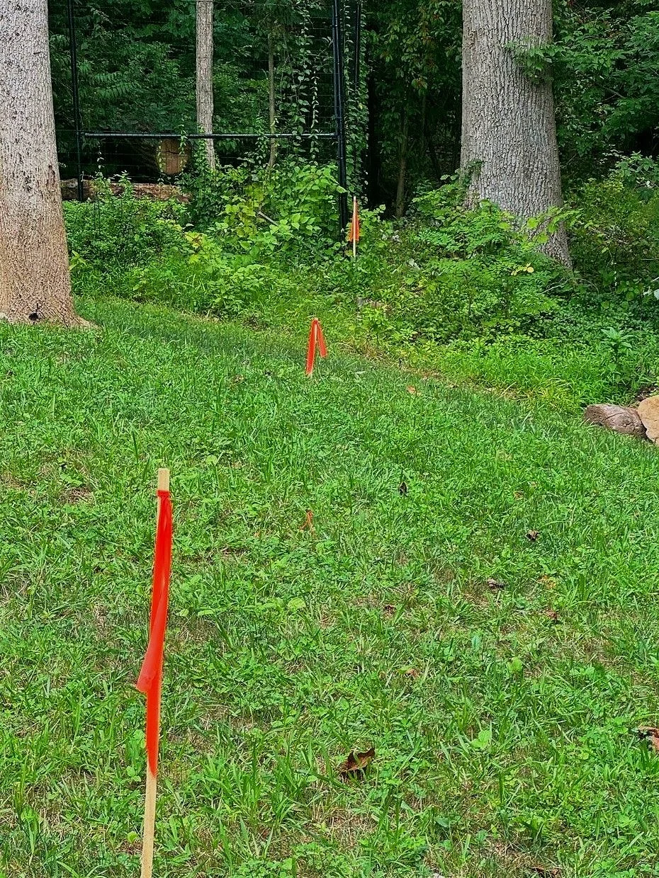
Subdivision & Lot Line Adjustments
We facilitate subdivision and lot line adjustment services to assist landowners and developers in reconfiguring property boundaries. Our approach ensures compliance with local regulations and maximizes land usability.
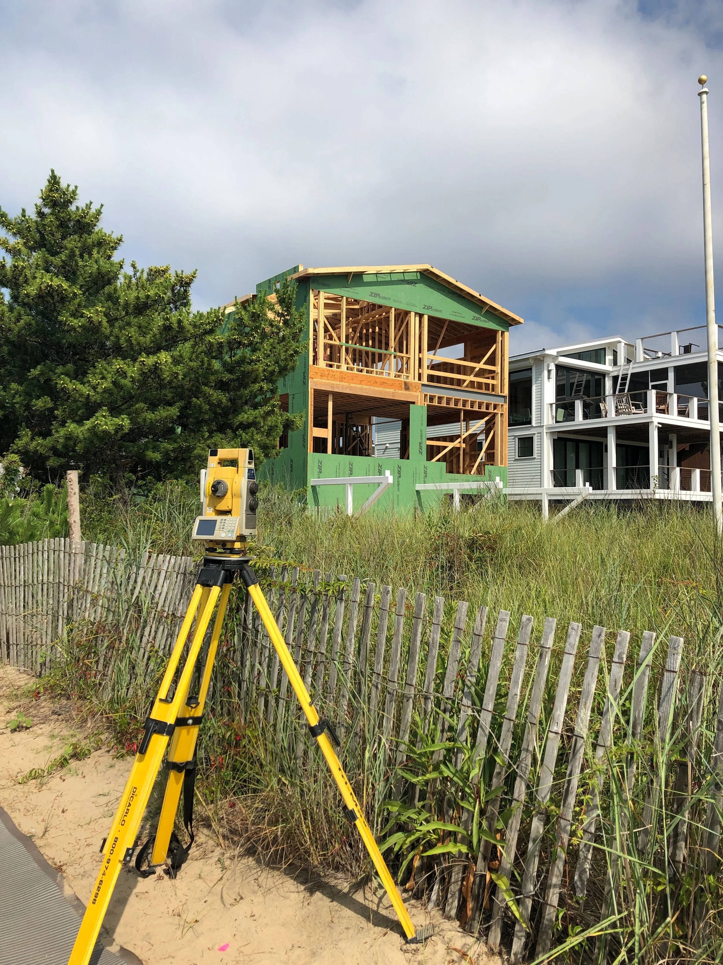
Construction Layout & Stakeout
Our construction layout and stakeout services provide accurate placement of structures and improvements according to engineering plans. This service ensures project adherence to design specifications and efficient field execution.
As-Built (Record) Surveys
Precision Geospatial Solutions performs as-built surveys to document the exact locations of constructed features. These surveys produce verified records for compliance, project closeout, and future reference.
FEMA Elevation Certificates
We prepare FEMA Elevation Certificates to establish property elevation information necessary for flood insurance and regulatory compliance. Our certificates support accurate flood risk assessments and help reduce insurance premiums.